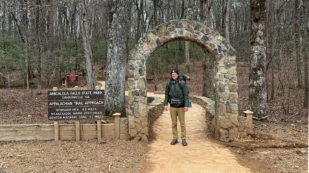


DiscoverNEPA and Individual Abilities in Motion (I AM) have partnered to create a list of wheelchair-friendly & accessible trails in the area. Although this is not a comprehensive list, it provides several recommendations from I AM members.
Accessible Trails for All in NEPA
In NEPA, we’re fortunate to have access to a wide range of nature trails, including wheelchair-friendly routes that offer safe, enjoyable outdoor experiences for people of all abilities.
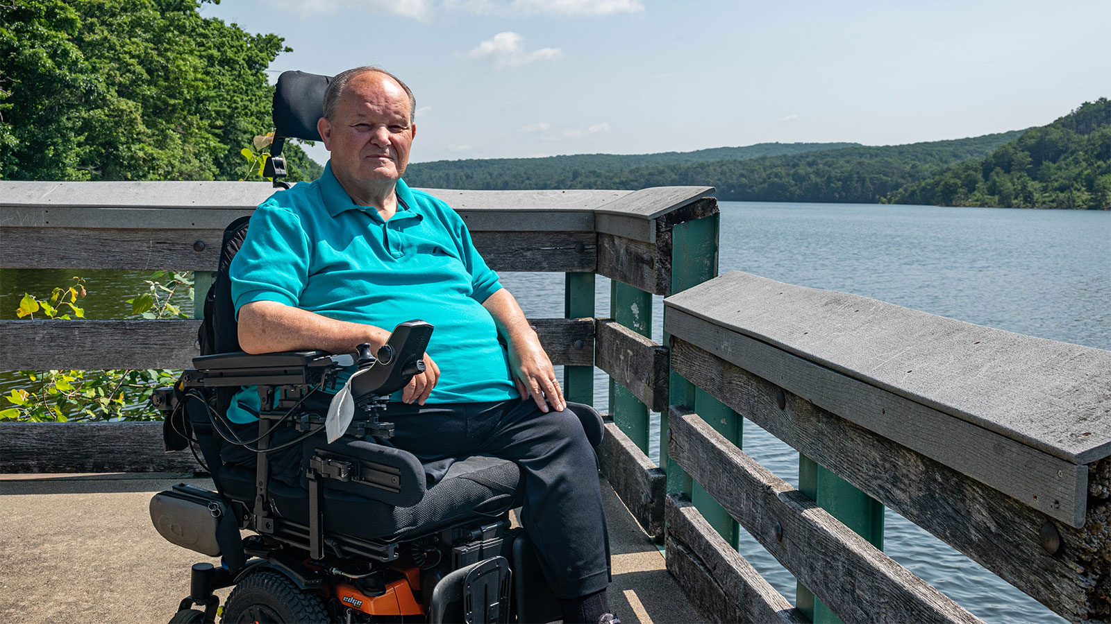
“Life with a mobility impairment might be different, and it might mean doing things differently, but that doesn’t mean that people don’t have the same desires as others,” said Joseph Salva, President of I AM. “We live in a beautiful area with lots of outdoor areas and nature to explore. We believe that everyone should have the opportunity to enjoy it as much as possible.”
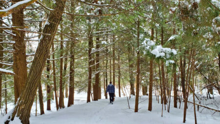
Across NEPA, there are a number of accessible hiking trails that are thoughtfully designed or modified to support a wide range of mobility needs. From paved paths to crushed gravel surfaces, these routes offer a smoother, more stable journey for walkers, hiking wheelchairs, strollers, and mobility aids. Whether you’re looking for a quick outing or a longer outdoor adventure, NEPA has a wheelchair friendly walking trail nearby that makes nature more inclusive for all.
Explore NEPA’s Wheelchair Accessible Trails
The Lackawanna River Heritage Trail stretches from Pittston to Simpson and includes several wheelchair accessible trail sections. A paved 3.5-mile segment runs through Scranton from Depot Street in Taylor to Olive Street downtown. Additional paved areas can be found in Blakely, Jermyn, Dickson City and Carbondale, while other sections use stonedust or natural surfaces.
Many trailheads offer accessible parking, including Elm Street, 7th Avenue, Laurel Street in Archbald (near an accessible fishing pier) and Parker Street Landing. The trail’s flat grade and variety of surfaces make it a popular wheelchair friendly walking trail and ideal for accessible hiking trails and adaptive cycling.
I AM frequently hosts events along the trail, and the Lackawanna Heritage Valley Authority offers free adaptive bike rentals—such as handcycles and tandems. LHVA and I AM also run a Bike Buddy Program to assist riders with adaptive equipment and navigation.
Learn More
The paved Luzerne County Levee Trail follows the flood levee along the Susquehanna River, offering scenic river views and access to several neighborhoods. The trail spans four main sections, totaling approximately 12 miles, and features multiple wheelchair accessible trailheads with parking.
Forty Fort Reach: Begins near the Swetland Homestead off Wyoming Avenue and includes two accessible parking spaces. The trail passes the Wyoming Valley Airport runway and the Forty Fort Borough Sports Complex before ending at River Street.
Kingston Reach: Starts at Church Street with two accessible parking spaces. It passes through Kirby Park and Nesbitt Park, continuing toward Edwardsville.
Hanover Township Reach: Starts along Riverside Drive in Wilkes-Barre and passes Barney Farms Park. This section ends at a dead end, making it best for an out-and-back walk or roll.
Plymouth Reach: Runs between Beade Street and Flat Road. One accessible parking space is located at the corner of Flat Road and Krest Street.
Learn More
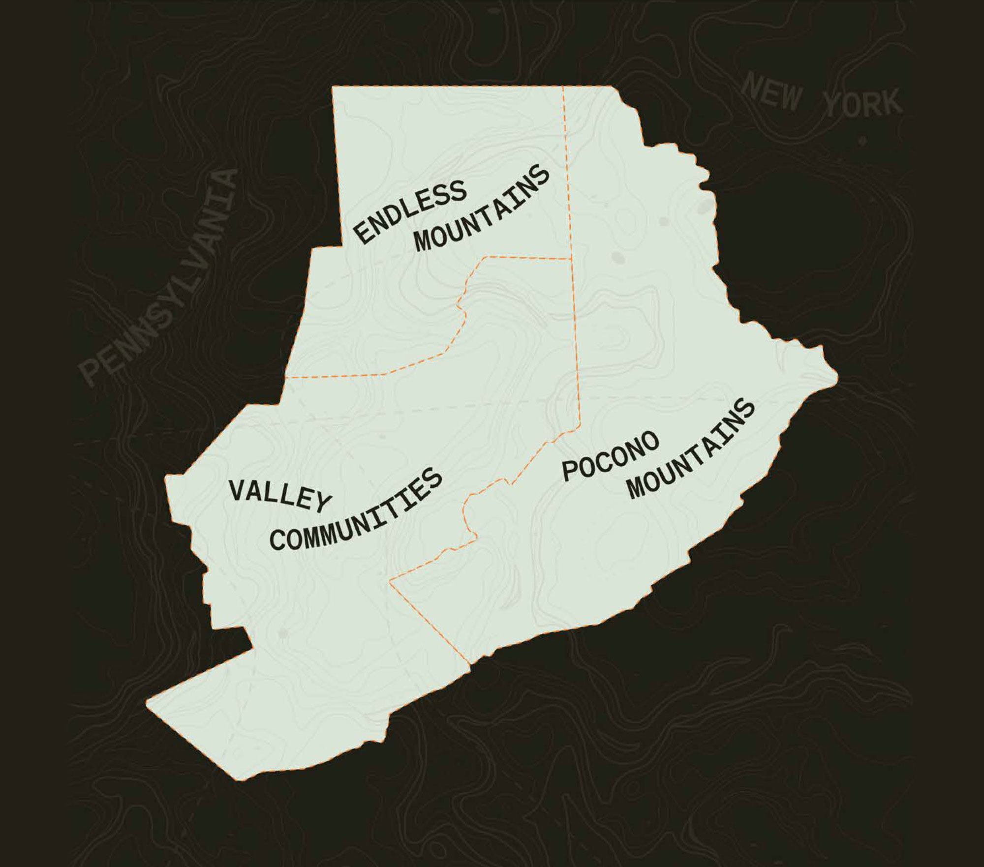
This peaceful rail trail follows the historic Northern Electric Street Railway, once used for trolleys between Scranton and the Endless Mountains. Now a crushed stone trail, it’s popular for outdoor recreation in the Abingtons.
The longest section, from Clarks Summit to Dalton, is 2.8 miles one way and includes some road crossings and a rougher section near Ackerly Little League Fields. The Roz Peck Memorial Trailhead on South Waterford Road offers a dirt lot with two accessible parking spaces.
Another popular segment runs 1.8 miles from Keystone College in La Plume to Factoryville and consists of crushed stone. Three accessible, paved parking spaces with striped access aisles are above the football field at Keystone College.
Learn More
The Lake Scranton Walking Trail is a 3.5-mile paved loop that circles a scenic reservoir, just minutes from downtown Scranton. This wheelchair friendly walking trail features a smooth surface and a gentle grade of under 5%, making it a great option for walkers, runners, and those using mobility aids. Visitors enjoy quiet shoreline views, shaded forest stretches and the peaceful surroundings of this accessible hiking trail.
For accessible parking, continue to the top of East Mountain Road, turn right onto Lakeview Drive, and take the first left. The parking area includes four accessible spaces, two of which are van-accessible with striped aisles.
Learn More
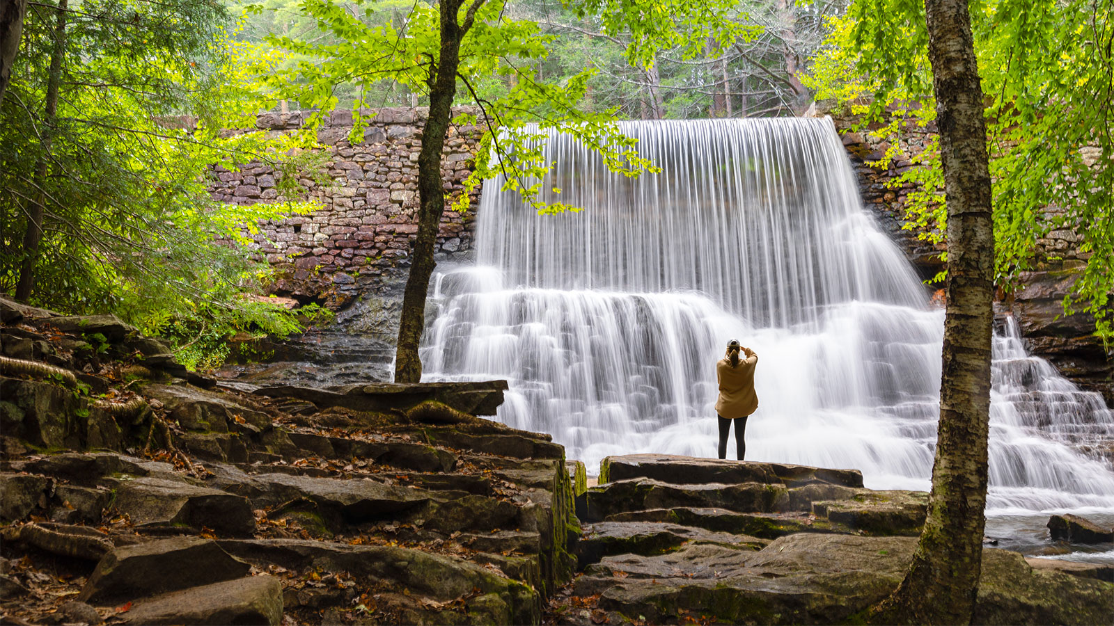
The Lehigh Gorge Trail is a 26-mile rail trail, part of the 165-mile D&L Trail, connecting White Haven and Jim Thorpe. It offers stunning views of the Lehigh River and Pocono Mountains and is popular for biking and handcycling. The trail features a crushed stone surface with a gentle 2% uphill grade heading north. Trailheads are at White Haven, Rockport and Glen Onoko.
Rockport is a great starting point, with two waterfalls nearby: Buttermilk Falls is less than half a mile north and Luke’s Falls is about half a mile south.
Learn More
Hawk Mountain Sanctuary in Kempton is one of NEPA’s best-known destinations for raptor watching, especially during the fall migration season. The ADA-accessible Silhouette Trail offers a short, scenic route to the South Lookout, where visitors can spot hawks, falcons, eagles and other birds of prey.
This wheelchair accessible trail is 900 feet long with a crushed stone surface and a gentle grade under 8.3%. It’s ideal for walkers, strollers, mobility aids, and those using a hiking wheelchair. Benches with pull bars are placed every 100 feet along the route, and the trail ends at a flat, open viewing area with sweeping valley views.
Accessible parking is available in all lots, including van-accessible spaces at the outdoor amphitheater. ADA-compliant restrooms are located near the trailhead and Visitors Center. Hawk Mountain also features an accessible Native Habitat Garden, offering another peaceful spot for exploration. A modest trail fee supports conservation, education and maintenance efforts on the grounds.
Learn MoreBeyond the Mission Statement: Individual Abilities in Motion

Article Updated from its Original Version Published on 7/27/2021.