


The Susquehanna Greenway Partnership’s Guide to Paddling the North Branch Susquehanna River
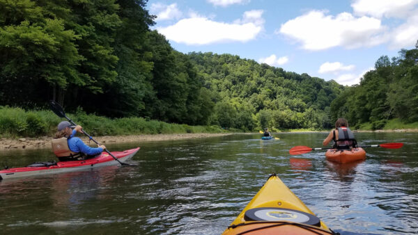
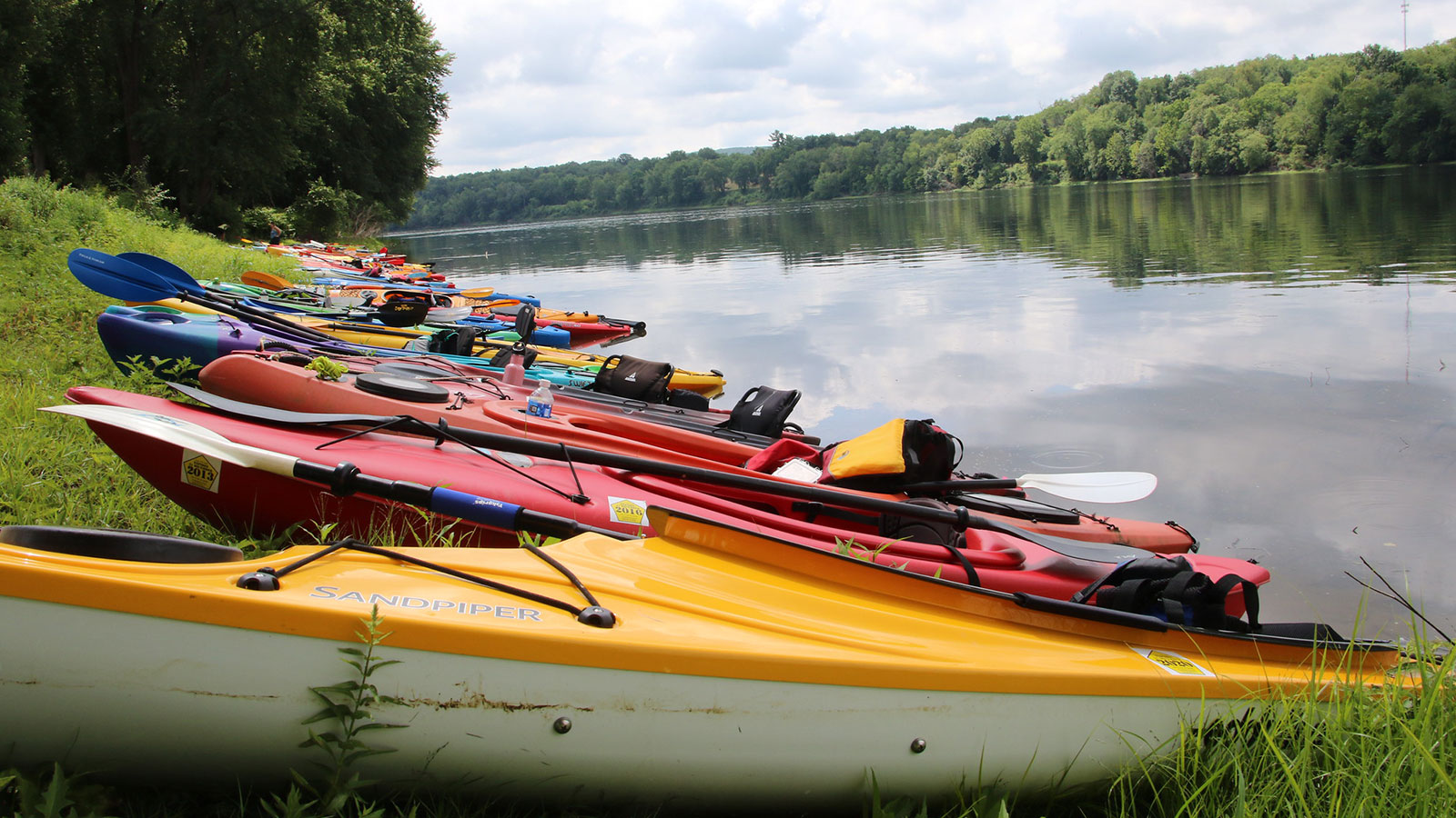
The Susquehanna River Water Trail is a treasure trove for outdoor recreation. And it just so happens that the Susquehanna Greenway and NEPA share this landscape, specifically along the North Branch.
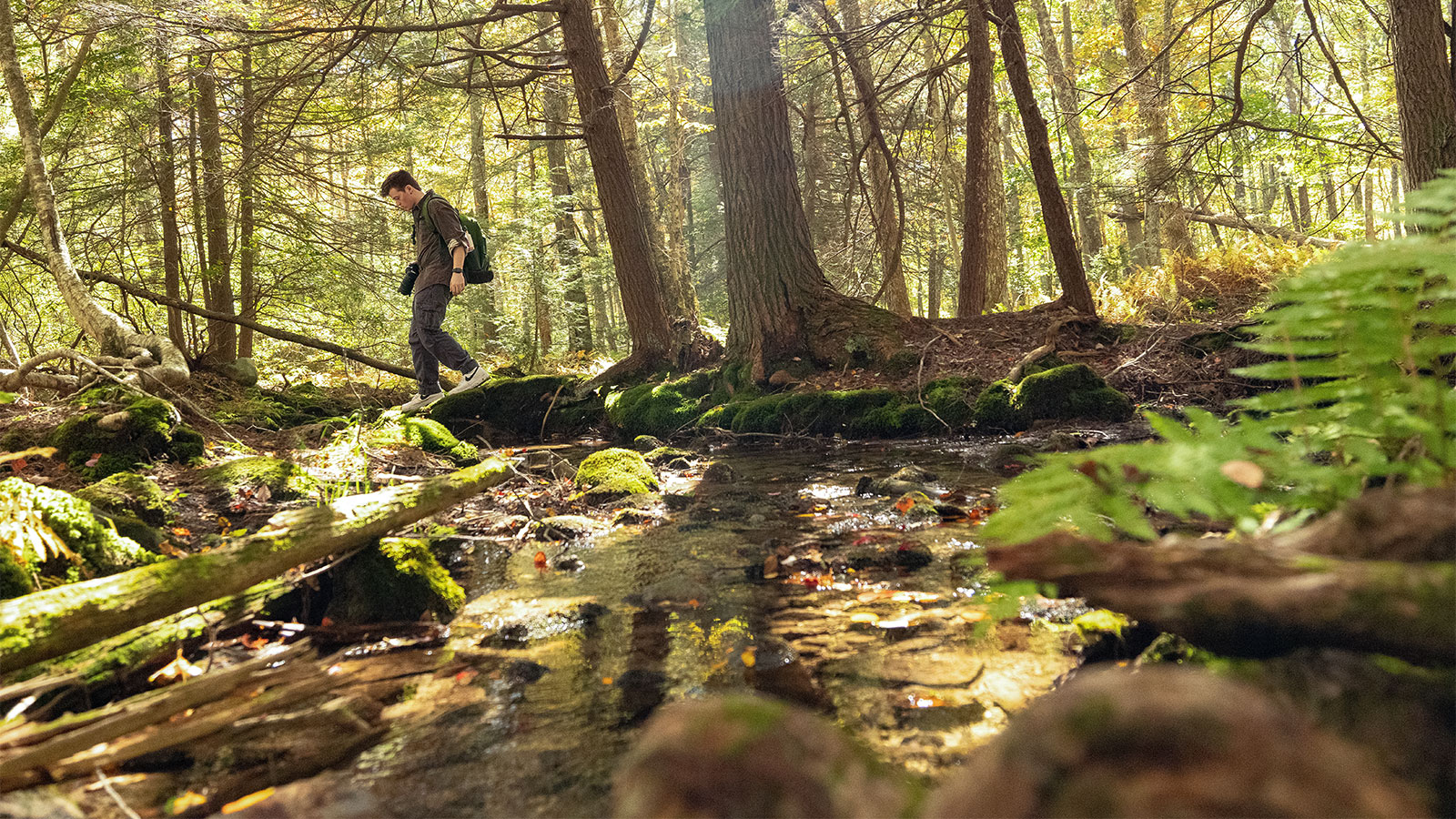
The North Branch of the Susquehanna River has a character that is as unique and changing as the river itself. It shifts from rolling meadows & forests to seemingly endless mountains. You’ll also find vibrant cities with industrial pasts and quaint river towns that dot the winding river valley.
This part of the river stretches roughly 181 miles from the New York border to the confluence with the West Branch near Sunbury. It also includes the Great Bend in Susquehanna County. The Classic Americana river towns nestled in the valleys are great waypoints for exploring landmarks along the river. Some date back to early French settlements and Native American civilizations who once called these valleys home.
So, who’s itching to explore this beautiful section of river? Look no further than the itineraries provided by the Susquehanna Greenway Partnership (SGP) below.
Get Out on the Water with these Awesome Itineraries

Oakland to Halstead – 12 Miles
Those who have paddled the “Great Bend” area have mentioned its undisturbed tranquility with a variety of trees, meadows, and pastures while also encountering the county’s history and architecture along the way. Highlights include the Starucca Viaduct, old brick Starrucca train station, a Mormon Monument, and remnants of Native American history at Red Rock.

Meshoppen to Tunkhannock – 14 Miles
This day trip is a longer paddle that is good for most skill levels but may be a challenge to novice paddlers. Several miles into the journey, you will encounter a series of islands that can be used as rest or picnic lunch spots. Exercise caution on the right side of the islands as Class I rapids will be present with 9’ or higher river levels. From here, you will encounter the Vosburg Neck where you will find beautiful natural scenery with Bald Eagles often soaring above 700-ft cliffs.

West Nanticoke to Union Township – 6 Miles
This paddling route is ideal for those looking for a shorter trip along a calm section of the North Branch. Beginning at Canal Park in West Nanticoke, you’ll paddle downriver on a quiet section of water passing Hunlock Creek & Hunlock Township, State Game Lands 224, and following alongside the Susquehanna Warrior Trail all on river right. After taking out in Union Township, you can even walk or bike the Susquehanna Warrior Trail for a multimodal adventure.

Berwick to Bloomsburg – 10 Miles
Paddlers along this section of river will enjoy the calm waters of the North Branch as they meander past several chains of river islands. Be sure to take a look as you pass by for the chance of seeing waterfowl roosted in the island’s trees. Iconic views of the rolling mountain landscape are another great feature of this North Branch paddling route.

Explore the North Branch like a pro.
The Susquehanna Greenway Partnership and Endless Mountains Heritage Region have released an updated water trail map for the Susquehanna River Water Trail – North Branch. This map offers a detailed paddling guide marked with boat launches, mile markers, parks, and amenities along the water trail. Purchase your copy today at the SGP Online Shop.
The North Branch Water Trail is co-managed by the Endless Mountains Heritage Region (EMHR) and Susquehanna Greenway Partnership (SGP). The EMHR manages the Upper Section from the New York border down to the Luzerne/Columbia county line, including the Great Bend area in Susquehanna County. The SGP manages the Lower Section from the Luzerne/Columbia county line down to Sunbury.
Please contact either entity with questions or concerns about paddling the Susquehanna River Water Trail – North Branch.
Featured photo (top) provided by Susquehanna Greenway Partnership